
 Image 1 of 1
The San Gabriel Mountains lie between the Los Angeles Basin and the Mojave Desert.
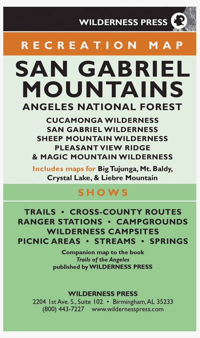
Several hundred miles of trails crisscross the vast area. Discover the best of it all with this four-color topographic map. The large, beautifully detailed map is 38.25" x 18.75", and it contains all the details you need to explore. On one side, the map features a view of the entire region. The other side showcases inset maps of the Big Tujunga area, Crystal Lake area, Liebre Mountain area, Mount Baldy area, and the area north of Pasadena. This sixth edition of the map shows every major road (along with minor and unpaved roads), and it includes trails, trailheads, campgrounds, picnic areas, forest service stations, waterways, peaks, and more. When you're finished, fold the map back to the convenient size of 4.38" x 7.38". It is lightweight, durable, waterproof, and it fits in your backpack or back pocket.
The San Gabriel Mountains lie between the Los Angeles Basin and the Mojave Desert.
Several hundred miles of trails crisscross the vast area. Discover the best of it all with this four-color topographic map. The large, beautifully detailed map is 38.25" x 18.75", and it contains all the details you need to explore. On one side, the map features a view of the entire region. The other side showcases inset maps of the Big Tujunga area, Crystal Lake area, Liebre Mountain area, Mount Baldy area, and the area north of Pasadena. This sixth edition of the map shows every major road (along with minor and unpaved roads), and it includes trails, trailheads, campgrounds, picnic areas, forest service stations, waterways, peaks, and more. When you're finished, fold the map back to the convenient size of 4.38" x 7.38". It is lightweight, durable, waterproof, and it fits in your backpack or back pocket.